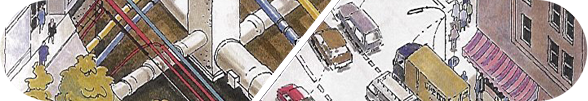
Fusion of Sensor Data with Buried Asset Records
University of Leeds
Led by Professor A.G. Cohn
The aim of this work package is to fuse geo-referenced information from multiple sensors and to combine this with an integrated database of buried asset records to increase confidence in their presence and location, and to determine missing asset records.
The anticipated deliverables from this research include techniques to resolve differences in resolution, positioning and depth sensitivity for the sensor types and the available buried asset records; techniques to compute spatial correspondences between interpreted sensor readings and utility records; to determine whether a sensor has located an unrecorded asset or whether a recorded asset is undetected.
Contact Information: Joanne Leach, Mapping the Underworld Project Coordinator | Telephone: 0121 414 3544 or 07785 792 187 | Email: joanne@joanneleach.co.uk
Web Design by Darren Langley

Web Design by Darren Langley